Sarah Parcak Quotes
Archaeologists have used aerial photographs to map archaeological sites since the 1920s, while the use of infrared photography started in the 1960s, and satellite imagery was first used in the 1970s.
Parcak, Sarah. Satellite Remote Sensing for Archaeology. Routledge, 2009, p. 11.


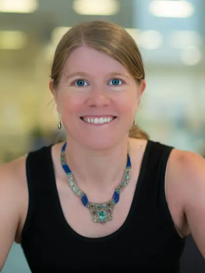
Sarah Helen Parcak is an American archaeologist, Egyptologist, and remote sensing expert, who has used satellite imaging to identify potential archaeological sites in Egypt, Rome, and elsewhere in the former Roman Empire. She is a professor of Anthropology and director of the Laboratory for Global Observation at the University of Alabama at Birmingham. In partnership with her husband, Greg Mumford, she directs survey and excavation projects in the Faiyum, Sinai, and Egypt's East Delta.
